About Cross Drones
Cross Drones is a locally owned and operated, veteran-owned drone services company based in Lawton, OK. Founded by Scott Poland, we bring a passion for innovation and precision to our work. We specialize in providing advanced drone solutions for the agricultural and real estate sectors.
For farmers and ranchers, we offer comprehensive services, including high-resolution crop health assessments, thermal imaging for livestock monitoring, and soil moisture content using thermal imagery. Our goal is to help you optimize operations, increase yields, and improve efficiency.
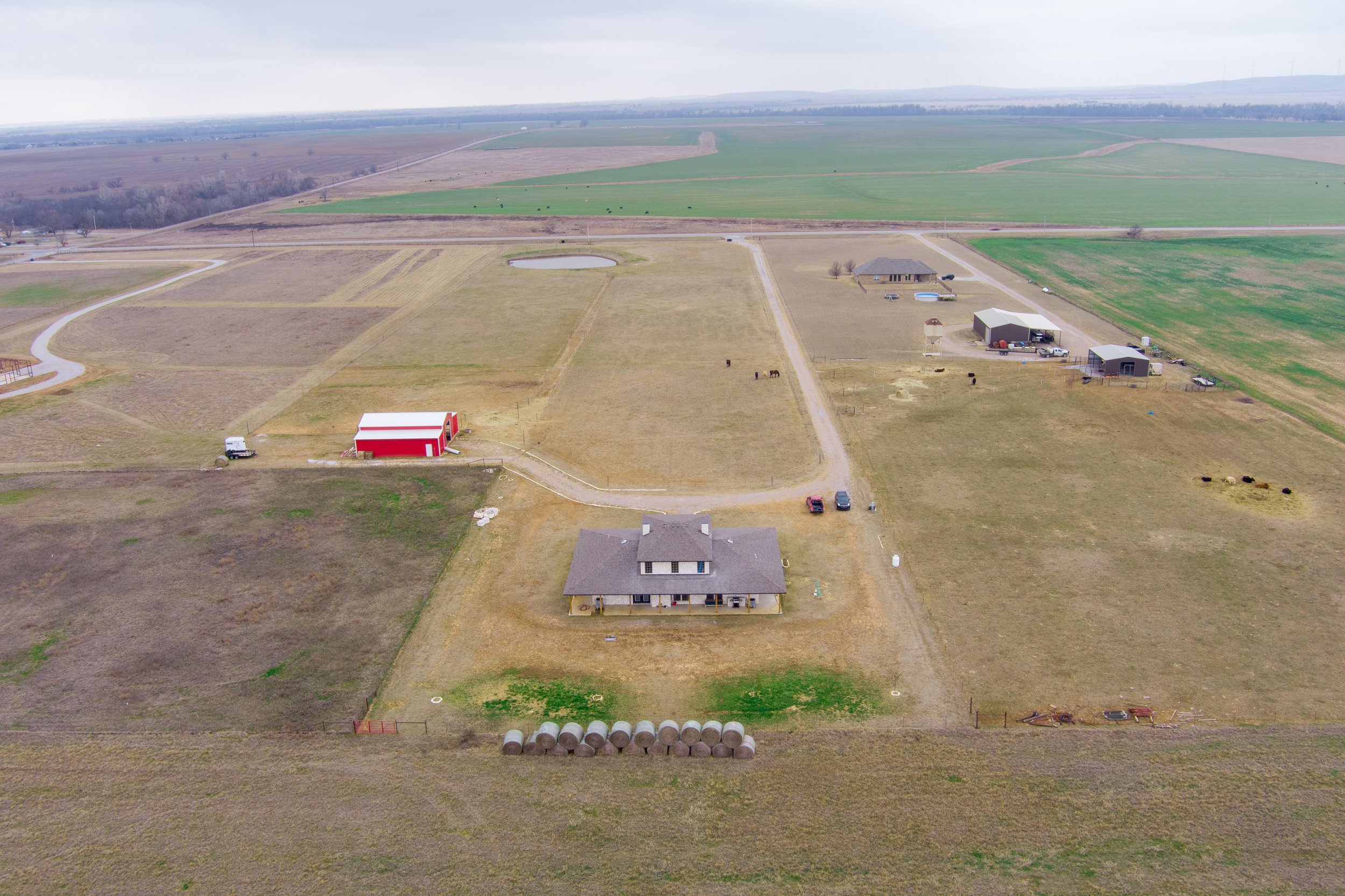
We also partner with local real estate agents, providing stunning aerial photography and videography to elevate property listings. Our services include dynamic aerial views, videography that will make your listing stand out, and property line additions to photos and videos, all delivered at competitive prices.
All pilots are FAA Part 107 certified and insured.
At Cross Drones, we are committed to local farmers, ranchers, and agents. Contact us today to learn how we can help you achieve your goals.
Testimonials
-
“I requested an aerial view of our 5 acre property to help me identify areas that needed to be improved, as well as establish a permaculture style animal rotation for our little farm. Since we are a small venture, every square foot counts. Scott suggested orthophotography and I am so glad we said yes. This is an invaluable tool to help any size farm or ranch develop their plans for their operations in detail, and that’s my favorite part. It took out the guess work and gave us a clear picture of the health and layout of our place so that I can better plan for the coming year and the years after. Sometimes just walking the property isn’t enough, it doesn’t give you the whole picture. I would DEFINITELY pay for this service again and again to check our progress as we improve our soil and property in general.”
- Carrie from Ardmore, Oklahoma
-
“Scott did a great job of blending advances in technology with known practices of soil and land management. He listened to what results I was hoping to get from his service, how he was going to get after those concerns and even explained how he could deliver results beyond my expectations. Not only was he able to get a unique view of my property allowing me to visualize more efficient usage, but his drone capabilities exposed serious soil/vegetation issues that I didn't realize existed. With the images taken as provided in his final report, I saw exactly where I needed to focus my attention to ensure that my horse pastures remain effective rotational grazing lots. Coupled with the soil/vegetation images and detailed overhead imagery, I made a decision on lot usage that I hadn't considered that I feel will pay noticeable dividends in coming years. I expect that thanks to Scott's expert drone service, I will be able to make strides this spring to set up my property to improve performance leading to healthier grazing for our horses. This is especially critical for us because our available pasture is really insufficient to prevent overgrazing from our 4 horses. With his mapping, I feel like 2025 will be a better year for the pastures and our horses. I plan on having Scott follow up at different times of the year to get me the 'ground truth' of the results of my efforts so I can continue to make the right decisions based on the findings. I would not hesitate to recommend Cross Drones to any landowner who wants to leverage their investments in preparing their land for maximum results.”
- Brent from Apache, Oklahoma

